CIVILLO IS A MAP-DRIVEN COLLABORATION PLATFORM FOR PROJECT PLANNING AND DELIVERY
What is a Civillo project?
How Civillo helps you?

Plan works efficiently

Team access, anywhere, anytime

Single environment for spatial data

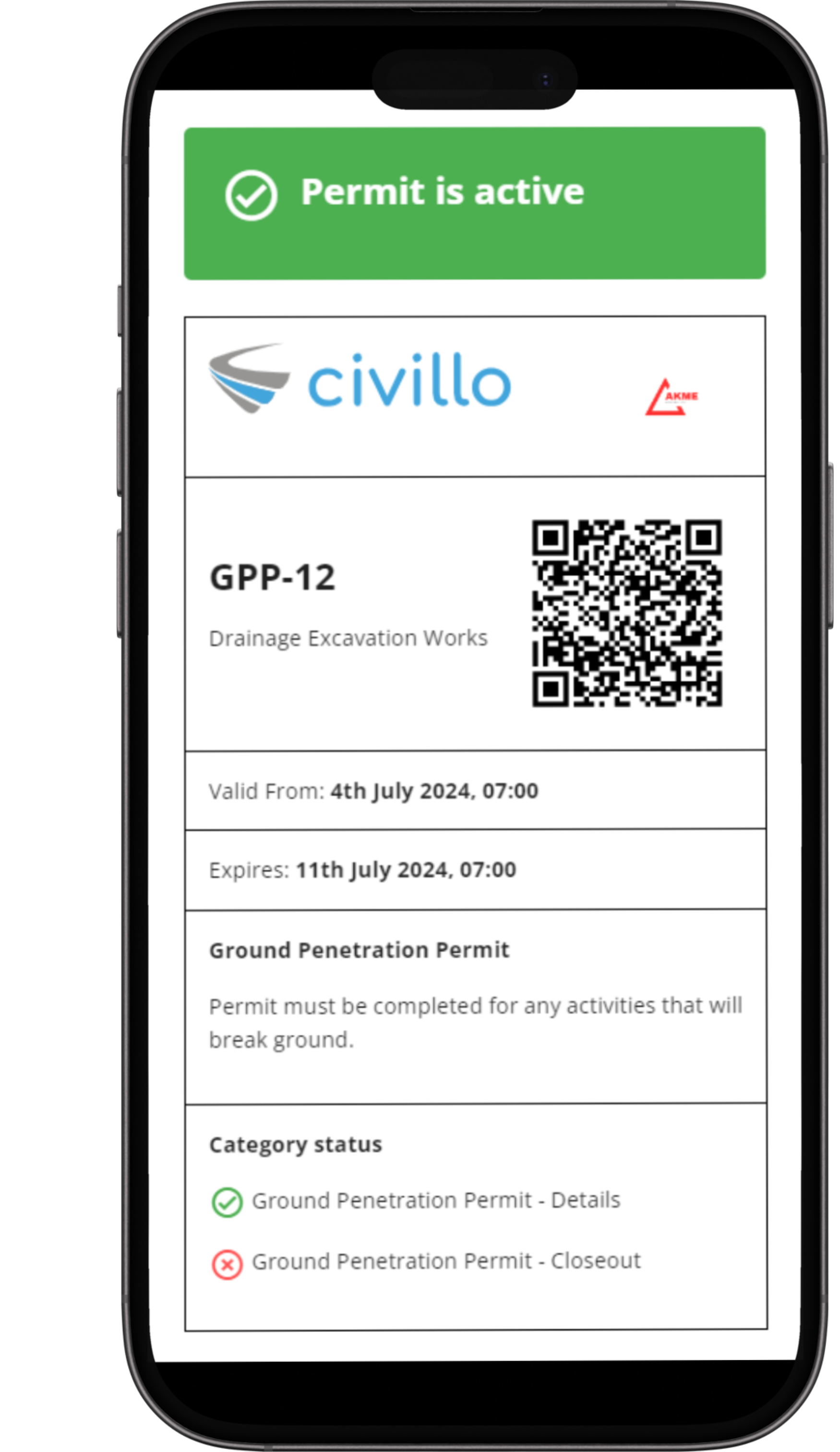
Digital permit workflows
Streamline your team's geospatial information
Optimize your project planning and workflows by bringing CAD, GIS, BIM, 12d, aerial imagery and more into a single, cloud-based platform.
Save time, reduce bottlenecks, and avoid costly delays with Civillo's fast, intuitive interface. Access all layers across all stages on any device from the office or field.
Deliver project efficiency with site-wide visualization so your team is on the same page.
Modernize your construction permits
Use the civil construction industry's first all-in-one, fully digital permit system. The Civillo Permit Module reduces paperwork, time-consuming administrative tasks, and increases safety on site.
Try it now and find out why some of Australia's largest projects have made the switch.